A weak weather disturbance off the southeastern U.S. coast is heading toward the Gulf of Mexico, where it is expected to bring rain and storms to coastal areas by the weekend. The National Hurricane Center states that tropical development is unlikely, but residents are advised to prepare and monitor conditions.

Despite the low chance of a tropical storm forming, forecasters have warned that heavy rain could occur later this week due to a weather disturbance off the southeastern U.S. coast.
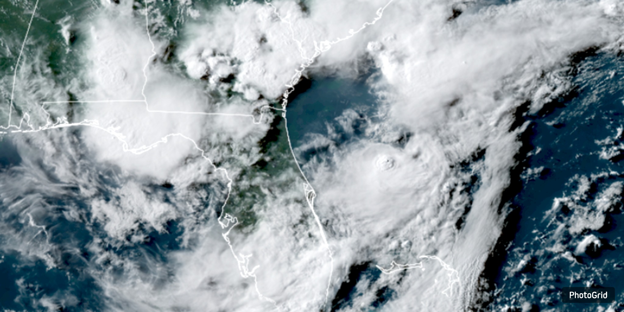
In its most recent report, released at 7 p.m. on Tuesday, July 22, the National Hurricane Center said that the disturbance, which is a trough of low pressure connected to the southern end of a frontal boundary, has a 10% chance of becoming a tropical cyclone in the next seven days.
Environmental conditions in the Gulf may allow for some slow growth, but forecasters believe the system will remain weak as long as it moves across open seas from west to southwest. Although computer models indicate that the system could become more organized, most people still believe it will remain messy. However, forecasters expect the disturbance to bring additional moisture to the area even if it does not develop into a tropical storm.
The disturbance could cause heavy rain and scattered thunderstorms along the northern Gulf Coast from Friday through the weekend.
By Friday and Saturday, the chance of rain along the coast may increase to approximately 50%, and heavy rainfall may occur in some areas. This pattern could cause minor flooding in areas with low-lying or poorly draining land, especially if it rains more than once.
Regardless of the circumstances, when a hurricane occurs, the National Storm Center emphasizes the importance of being prepared by stating, "Now is the time to make sure your hurricane plan is in place." Restock your backup supplies, fill up your car with gas, and review your escape plan if you live near the coast.
The disturbance is part of ongoing efforts to monitor the tropics during the Atlantic hurricane season, which lasts until November. As the storm moves across the Gulf, people in Texas, the Florida Panhandle, and other areas should monitor local forecasts and the Hurricane Center for updates.